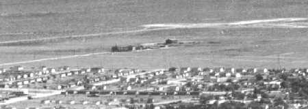
Top view showing the Parker ranch before development of the property.
Top view showing the Parker ranch before development of the property.
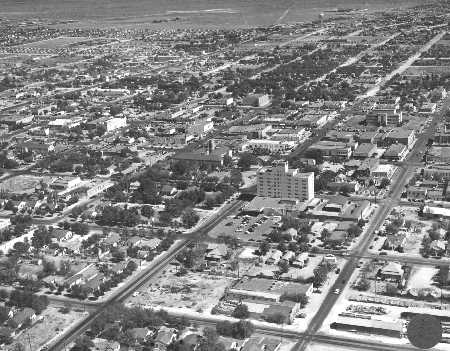
Further East of the Parker Ranch the Oiler Park comes into view.
Courtesy: Ector County Library, South West History